A sudden cluster of earthquakes in the deep, unmapped waters of the Central Bismarck Sea has revealed a massive geological event. The Titan Ridge underwater volcano eruption is actively reshaping the seafloor north of Papua New Guinea, and NASA satellites are watching in real-time as Earth's newest island potentially breaches the surface.
The Bismarck Sea is notoriously complex, filled with faults, rifts, and active subduction zones that remain less mapped than the surfaces of Mars or the Moon. On May 8, 2026, seismometers detected activity about 16 kilometers (10 miles) southeast of a previous 1972 eruption site. Scientists are still determining exactly which volcanic feature is active and the original depth of the vent.
"The good news is that there are huge opportunities to explore and learn using both government and commercial satellite platforms already in orbit," Jim Garvin, chief scientist at NASA’s Goddard Space Flight Center, explained.
Tracking the Plumes from Space
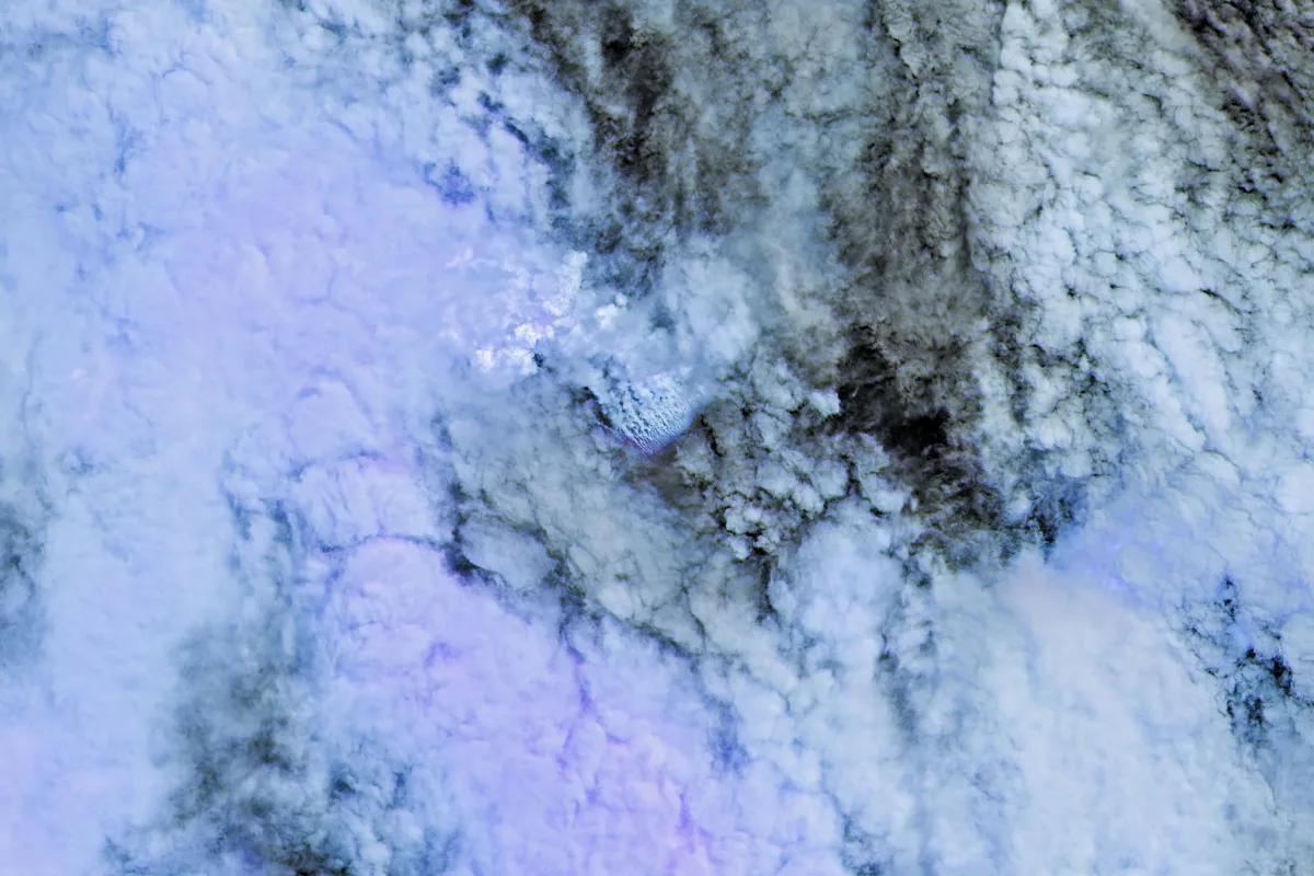
Starting May 9, NASA’s Aqua and Terra satellites captured optical images of steam-rich volcanic plumes rising into the atmosphere. Simultaneously, the PACE satellite detected discolored, disturbed water using its ocean color sensor. By May 10 and 11, the European Space Agency’s Sentinel 2 and NASA/USGS Landsat 9 provided detailed imagery of the ocean surface, utilizing false color bands 7-6-5 to highlight the eruption's infrared signal.
On May 12, the VIIRS instrument aboard Suomi NPP recorded heat anomalies spreading across roughly seven square kilometers. By May 15, the MODIS instrument on NASA’s Terra satellite acquired images showing floating pumice and green, discolored water extending southwest from the eruption site.
There must be a lot of hot material near the surface to generate so many thermal anomalies. This suggests a fairly shallow eruption vent - much shallower than what’s implied by the existing bathymetry.
- Simon Carn, Michigan Tech
The Birth of a New Landmass
Medium and high resolution sensors have captured massive pumice rafts drifting in surface currents. If the magma chamber pushes the underwater feature above the waves, it could form a tuff cone. However, unlike the highly explosive 2022 Hunga Tonga Hunga Ha’apai and 2021 Fukutoku Okanobain eruptions, this event sits near a transform fault and back arc spreading center, which typically produces less explosive activity.
It is not yet clear how long the eruption will continue. The 1972 eruption lasted only four days, while another submarine eruption about 100 kilometers away in the St. Andrew Strait in 1957 continued for nearly four years.
A Rare Natural Laboratory for Artemis
The potential formation of a new island in the Bismarck Sea offers far more than just a geological spectacle; it provides a pristine, untouched environment for biological and chemical observation. If the landmass stabilizes, researchers plan to use radar data from the NISAR satellite and RADARSAT Constellation Mission to map its evolution.
Garvin noted that scientists could eventually visit and study the island's response to weathering and colonization, similar to past expeditions. This "island-naut" research serves as a direct analog for off-world exploration, offering crucial insights into how barren landscapes evolve as NASA prepares to return humans to the Moon under the Artemis IV mission.